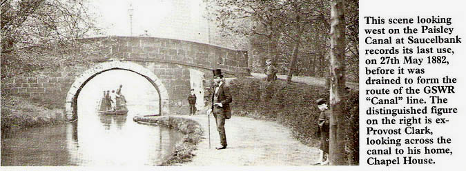
This incredible picture is Provest James Clark, on 27th May 1882,
the last day of the canal before work began to convert it into a railway. He
is looking up toward his home, Chapel House. The path on the right is
recogniseable today, leading up to the railway bridge at Patrick Street
which replaced the one shown.
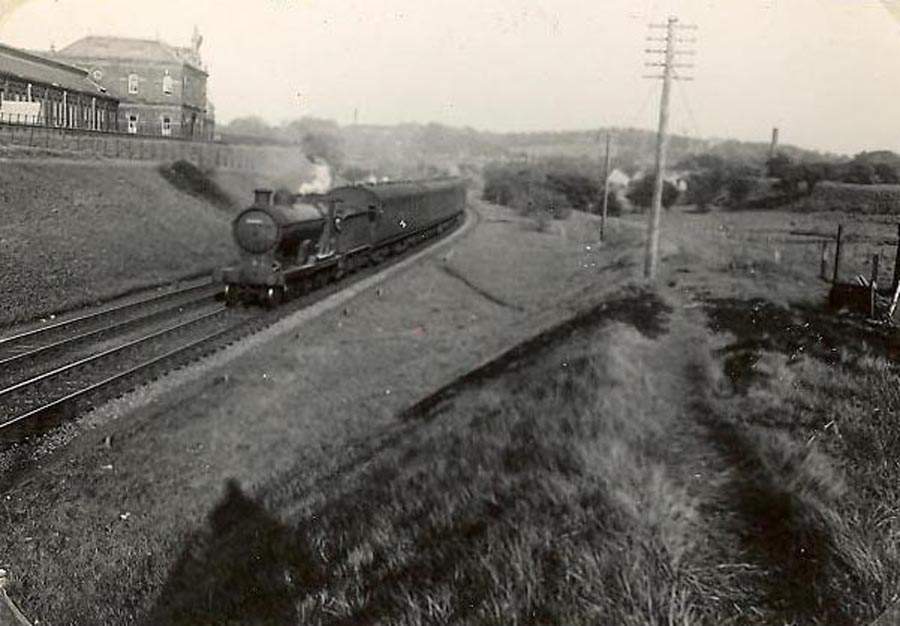
The
Paisley Canal Railway line was originally a canal which ran from Glasgow to
Johnstone and the area to the west of the old Canal Street Station (now
Castlegait ) was the site of a terrible disaster in 1810 which claimed 85
lives. Read about it here.
The route was taken over in 1882
by Glasgow and South Western Railway and became a branch line running from
Glasgow through three stations in Paisley (Paisley Canal , Paisley West and
Hawkhead) to North Johnstone. Trains ran to Kilmacolm and Greenock by
connections to other railways. The Kilbarchan loop line is now the National
cycle track to Lochwinnoch. The remains of Kilbarchan station are still
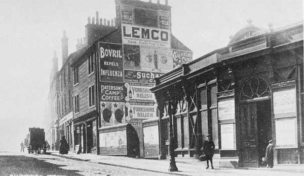
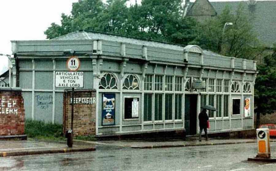
there. The photographs below are exactly 100 years apart. There are
proposals to re-open the line from Paisley to Elderslie.
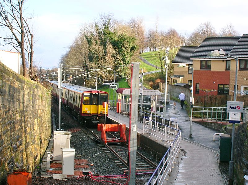
Passenger services (to Kilmacolm) ended on 10 January 1983, freight in 1986.
The line reopened on 27 July 1990 and now runs from Glasgow Central station
to the new Paisley Canal Station. The bridge over the River Cart in the
right hand photograph below is the oldest railway bridge in the world still
used by trains. It was built by Thomas Telford in 1810 and originally
carried the Canal.
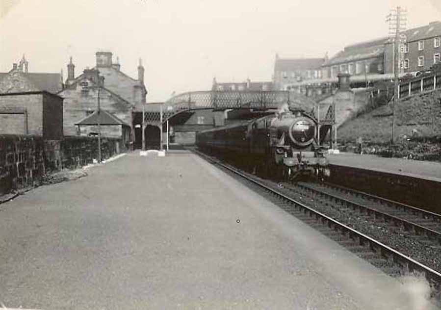

Canal
Street Station
The original
station was opened on 1 July 1885 and closed to passengers on 10 January
1983.
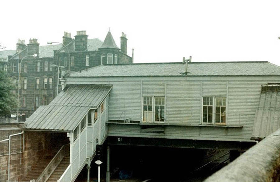
Goods Station (coal yard)

Seven years later a new train service was commenced on 28 July 1990. As the
original station site had been sold and the platforms filled in, a new
platform to the east of the Causeyside Street overbridge was constructed
within the railway cutting.
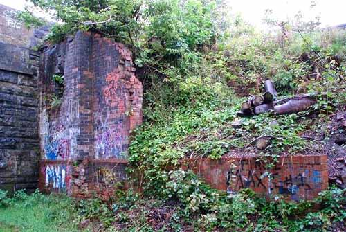
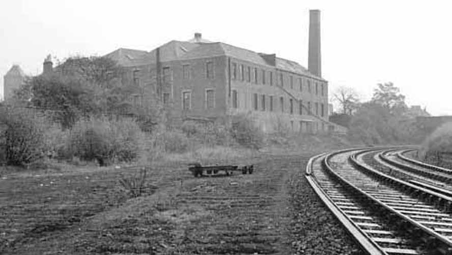
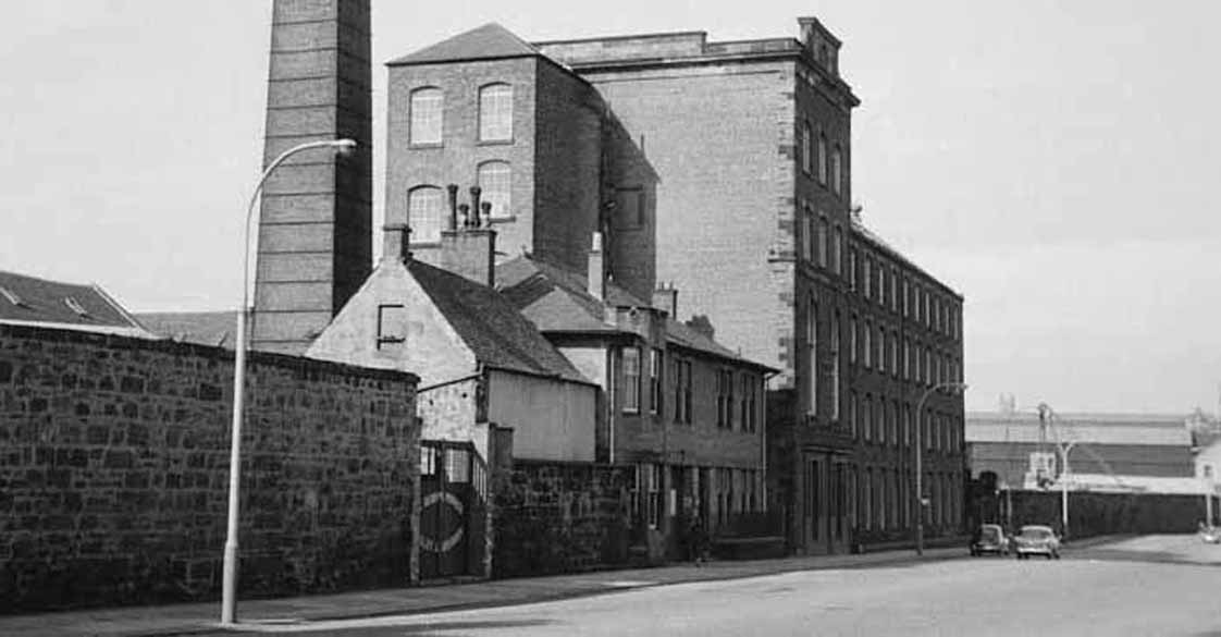
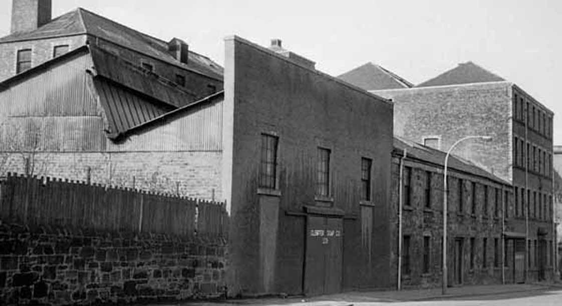
Saucel Goods Station
This was close to the site of the current Canal station. The probable remains are on the left below with the Saucel Distillery in the background. There also seems to have been sidings for other industry at Lonend. The back of Gleniffer Soap Works is in the photo on the right.
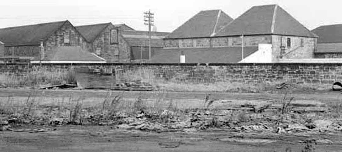
There was also an iron works,
shipyard and bedding factory in the immediate area.
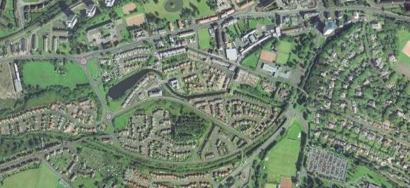
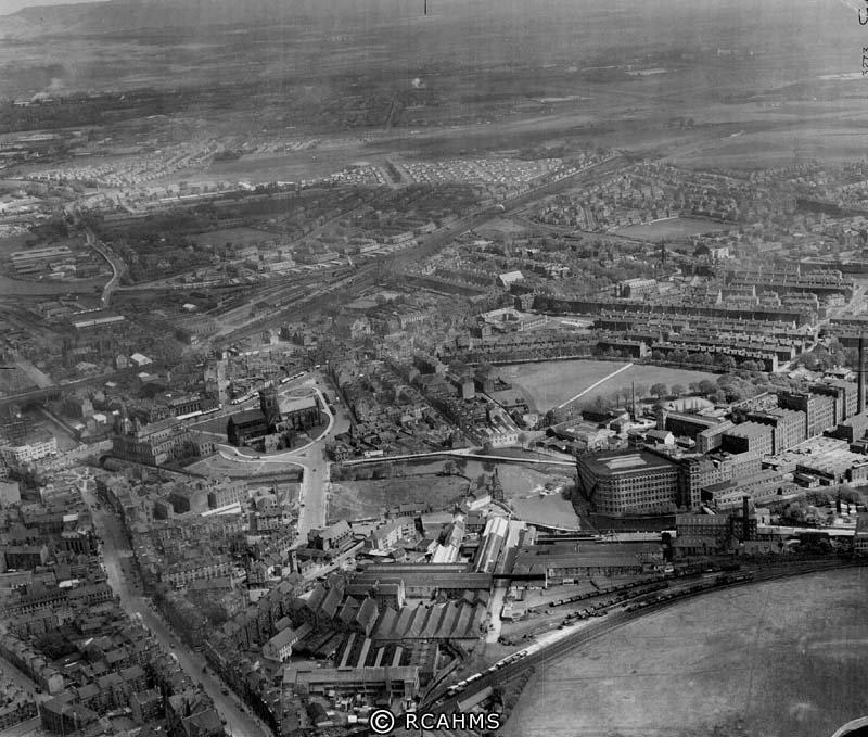
Here is a 1949 aerial photograph.
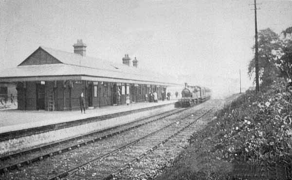
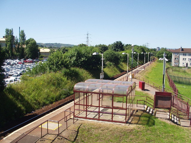
Hawkhead Station
The station opened on 1
May 1894 and was closed on 1 January 1917. It was later re-opened by the
British Transport Commission and was closed to passengers on 14 February
1966.
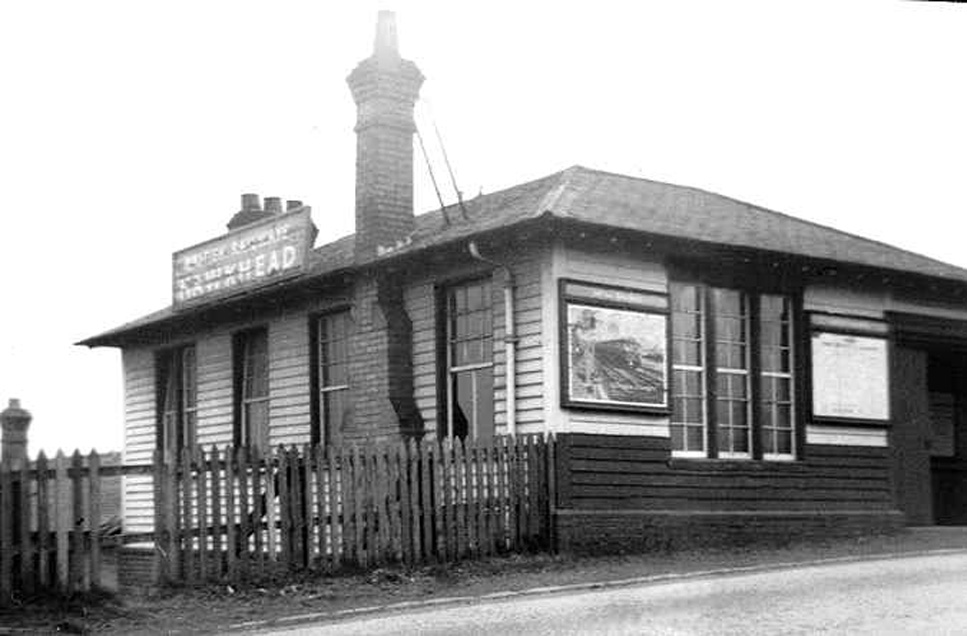
A newly-built station opened in 12 April 1991 on the other side of Hawkhead
Road.
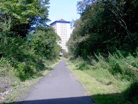
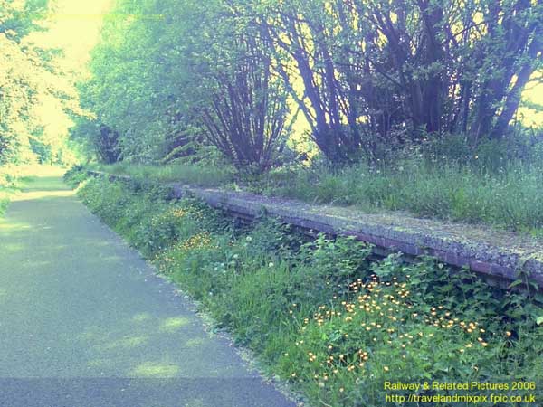
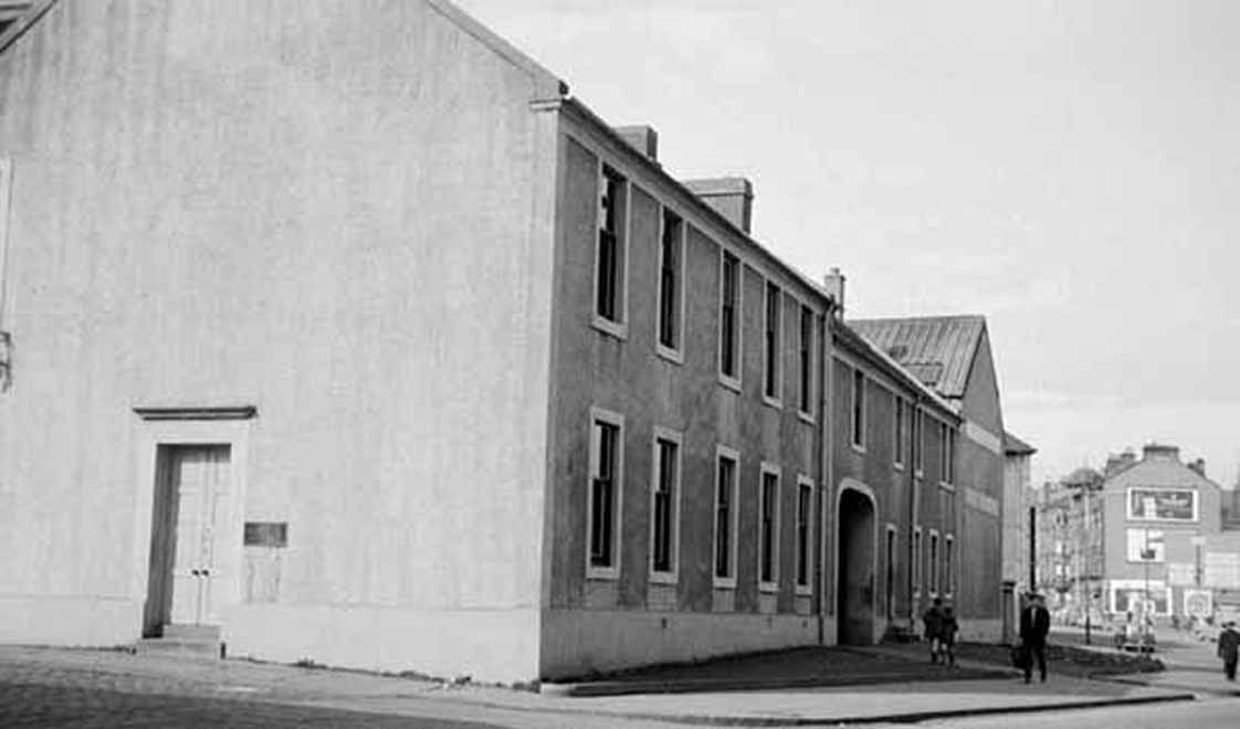
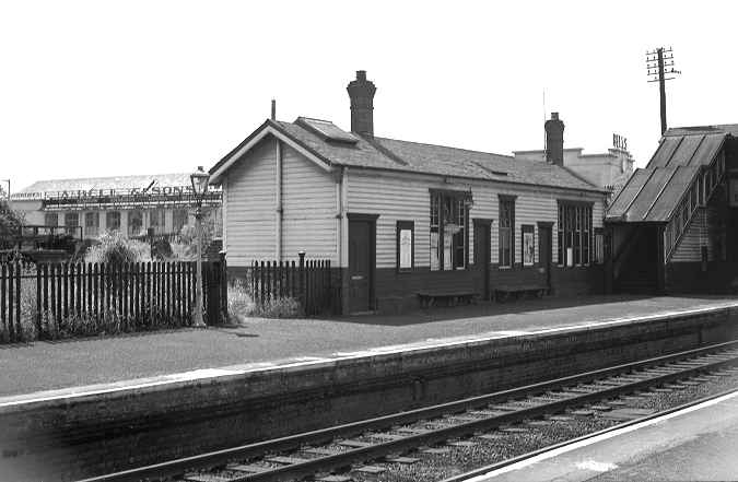
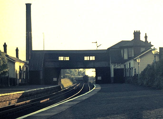
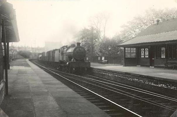
Paisley West Station
Paisley West was the next station along from Paisley Canal on the Glasgow and South-Western Railway. It can be now be seen in Maxwellton Street in a low level cutting on the cycle track that was the route of the Canal line. It was also on the Potterhill branch line to Barrhead. The station opened on 1 June 1897, and closed on 14 February 1966.
The (very few) remains of the station can be seen on the left below. There is a ramp down from Maxwellton Street near the high flats to the cycle track where the first photograph was taken. The second one looks back along the cycle track toward the Maxwellton high flats.